
You are here
Using and analyzing images: Public transportation
Primary tabs
Wikipedia
Using and analyzing images
Teaching students how to work with images; analyze images
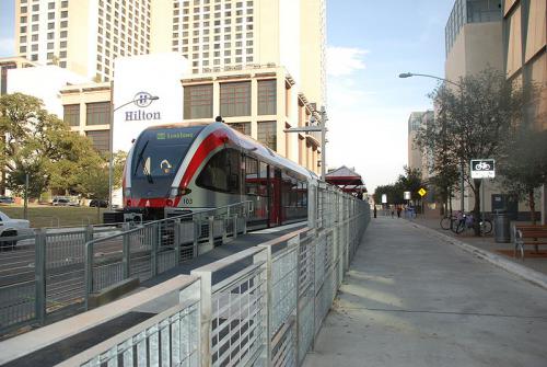
Maps of streetcar lines in Austin, TX, and Frankfurt, Germany.
Links:
http://www.rmv.de/linkableblob/de/12982-27836/data/rmv-schnellbahnplan.pdf
http://www.capmetro.org/current_schedules/pdf/550.pdf
Comparing maps of streetcar lines in the two cities (1 line in Austin, several dozen in Frankfurt).
Students come up with arguments that could be made using these images: What would a group of environmentalists/car industry representatives etc. take these to mean?
Students think about background research you would have to do to judge the validity of these arguments. E.g. how big are the cities we are looking at here? What other types of public transport exist?
Students work together to compose arguments around the two images.
N/A
Describe the two maps. What are the differences?
What do these images tell you? What are other possible readings?
When you encounter images like these in an argument, what kind of background research is necessary?
Starting from the two images, write an editorial for the Daily Texan that makes an argument about public transportation in Austin.
Not evaluated
309K. Topics in Writing-W (TOPICS COURSE)
A writing course focused on studying and practicing methods of rhetorical analysis within the contexts of disputed issues of academic, political, or cultural significance. May be repeated once for credit when the topics vary.
-

- Log in to post comments
Licensing

All materials posted to this site are licensed under a Creative Commons Attribution-NonCommercial-ShareAlike 3.0 Unported License. We invite you to use and remix these materials, but please give credit where credit is due. In addition, we encourage you to comment on your experiments with and adaptations of these plans so that others may benefit from your experiences.